Hiking Day 8 Cloghane to Castlegregory (An Clochan – Caislean Ghraire) 9 miles


Overcast in the morning, sunny in the afternoon

This is St. Brendan's Church in Cloghane - St. Brendan of Kerry, or St. Braendan the Navigator, is quite the celebrity around these parts for sailing around for seven years in a leather boat, starting around the year 512 in search of the Garden of Eden. He came back with lots of stories of sea monsters, and claimed to have found Paradise, but his accounts could never be verified. One legend says he actually discovered America...

Today’s walk is advertised in our guidebook as 18 miles of walking on Ireland’s longest beach. We asked Mr. O’Dowd if there as an interim place we could stay to divide the one day into two, and he informed us that NOBODY walks all the way to the tip of the peninsula; they just get off the beach and walk straight to Castlegregory, shortening the walk by half.


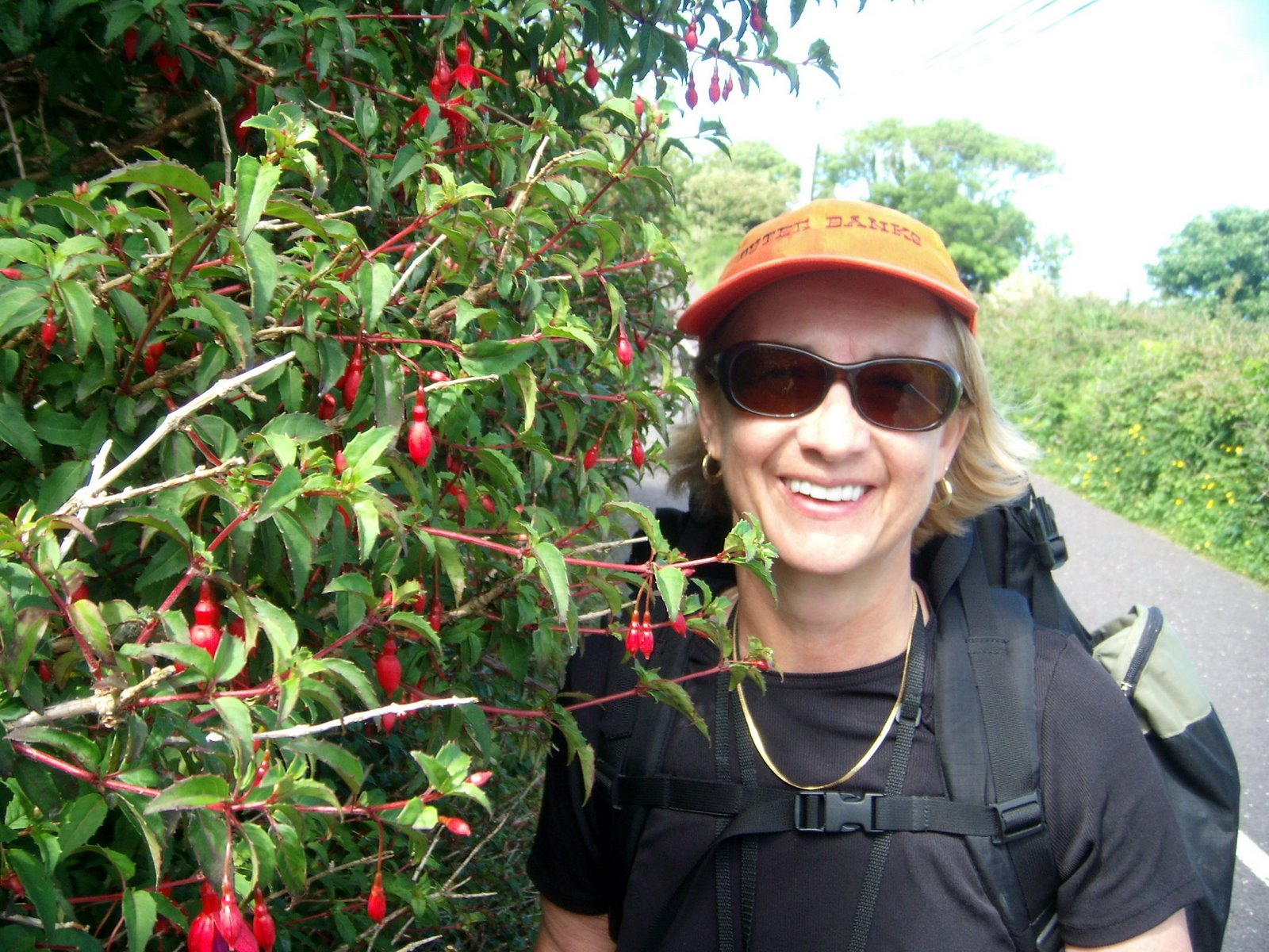
After yesterday’s climb, 9 miles instead of 18 sounded just fine to us. After a lovely French toast breakfast, with our packed sandwiches, we set off for a walk on the beach.


Except for the very occasional man and his dog, and one lone surfer, there was not much action here, considering it is a holiday weekend.


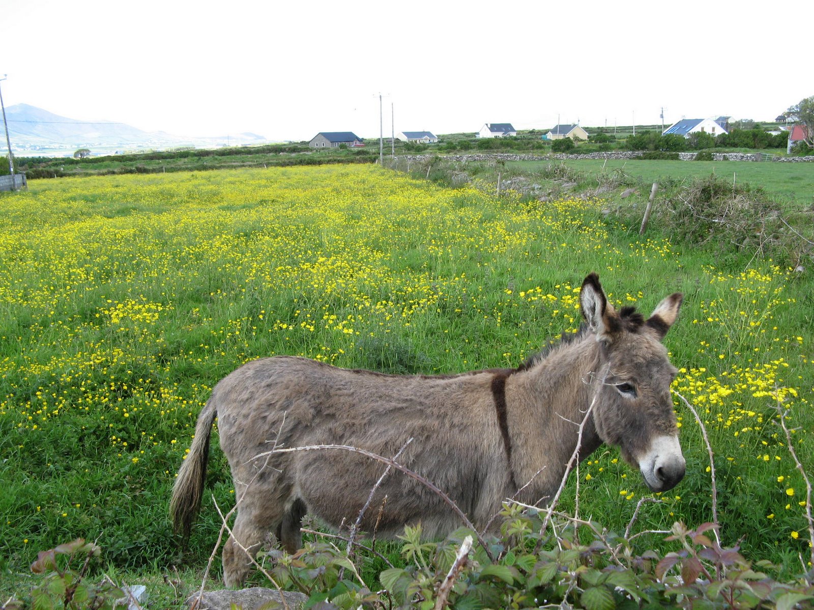
We’d been told to look for the golf course as the place to turn off from the beach. Guess what? Every piece of land in Ireland looks like a golf course (until you spot the cows)!


Jim found the correct turn off, and we walked a mile or so into the little town of Castlegregory. Here's us again reflected in a traffic mirror at the corner of a one lane road...


We stayed at the lovely Castle House B&B (with cows in the yard!)


By late afternoon, the Germans had joined us (Daniel and Timor walked the whole 18 miles, Kirsten took a cab straight to the B&B) and the parking lot filled with holiday weekend guests.


We had tea and home-made fruitcake in the parlor. As always, we were ready for supper by 6pm, but Ireland runs on a different schedule. Because it stays light past 10pm, the restaurants don’t get crowded until late, so we are usually alone enjoying the early dinner seating.


We walked around town and saw some interesting advertisements - a fisherman upside down in a barrel in front of a pub, and a man pulling his cart and plowhorse, advertising "Guinness For Strength!)


We had an above average supper tonight – I had penne pasta with smoked chicken, mushrooms and sundried tomatoes, and Jim had a chicken curry (and a Guinness of course). Tomorrow, it’s back to Camp!


Posted by Picasa

Hiking Day 7 Cuas Ballydavid to Cloghane (Cuas Ballydowd– An Clochan) 13 miles

Bright sunny day


Happy birthday to me! It looks like there was some rain overnight, but the sun is out today, which is very important on a mountain climbing day! (Remind me to tell you about my near-death experience climbing Mt. Katadhin in Maine…)


Today is my 56th birthday, and today we will climb Mt. Brandon, the highest elevation of our hike.


Our hosts reminded us that this is Bank Holiday Weekend (like Memorial Day) and that all the B&Bs going forward were likely to be booked for the next few days, so we asked to be booked ahead to O’Connor’s B&B in Cloghane (silent G again, pronounced Cla HAHN) tonight.

Maurice told us to take our time climbing and enjoy the day – he thought the climb could be done in 3 to 5 hours, not the 7 to 9 in the guidebook. The guidebook hasn’t been wrong about times so far, so we took this with a grain of salt.

Jim was very supportive of my needs today, and we stopped frequently on the steep ascent so I could catch my breath (my asthma kicks in when I climb). A solo hiker cruised by us after an hour’s walk, going about triple my speed and practically sprinting up the trail!


You know you are almost at the top when you find yourself in the clouds – all of a sudden it’s very windy and there is no more sun.


At each stage of the climb, you can only see the section in front of you – looking behind doesn’t give a sense of how high up you are, and the town and houses below can no longer be seen.


We were almost at the top when we spotted an ancient standing stone, decorated and with Ogham writing (slash marks) on each side. This is the closest we've been to one of these stones, although we've seen several at a distance.


Jim got to the top ahead of me, so he could record my moment of victory!


We reached the top (we climbed the shoulder of the mountain - our guides were unanimous in warning us not to attempt the summit) by noon, and then started a treacherous scrabble down the big boulders on the other side.


At some points it was easier to “crab walk’’ with my hands then to risk missing a footing on the jagged rocks.


When we got back into the sunshine, we stopped on a huge flat rock to have our lunch of lamb and cheddar sandwiches, provided by the pub this morning. Unfortunately, we shared this space with a goat who came to a bad end...


Jim was boiling water for hot cocoa, when the scrub brush on the rock caught fire, and he almost sacrificed one of his gaiters stomping it out! Happily, he did not sacrifice the cocoa, which was very delicious.


As we were finishing our lunch, who should arrive, but the Germans! They sat on adjacent rock and had lunch too, and Kirsten chided Jim that this was no way to treat a lady on her birthday!


The descent evened out after a while and became a gravel path that our guidebook described as “desolate” but we thought was quite pleasant.


We passed a tractor cutting peat out of the hillside (peat is burned for fuel).


As we approached the town of Brandon, we stopped at the artist’s studio and gallery of Mary Neville, who had some beautiful works in oil. Jim intuited that she had lived in Asia, and they talked about this while I looked at the paintings.


We continued on the road, opting to not walk through Brandon town, as we’ll be walking on the beach tomorrow.

We were very happy to arrive at O’Connor’s B&B, where Micheal O’Dowd was most gracious and gave us a room on the first floor (no more climbing today!) with a bathtub (another person who thought I would benefit from “a good soak”!)

After cleaning up, I felt human again, and we went into the restaurant (where Mr. O’Dowd said I looked much younger than the lady that he’d seen earlier…). I ordered the poached turbot in port wine sauce at our host’s suggestion, and Jim had the scampi. Do I need to add that we each had a Guinness? The food was exquisitely first rate – a wonderful birthday dinner! We didn’t leave a crumb…


Posted by Picasa

Posted by Picasa

Hiking Day 6 Boherboy to Cuas Ballydavid (Boherboy - Cuas Ballydowd) 5 miles


Beautiful sunny day

A bit of reflection...We originally planned our trip using “The Dingle Way” by Sandra Bardwell. This is a good guide to the route, but doesn’t contain any information on places to stay.


Before we left, we downloaded another Dingle Way guide from HikeBike Travel.com, which has been very helpful in pointing out stores, accommodations and places to eat along the way.


While in Dingle, Jim purchased a very large, detailed map of the Dingle Peninsula. The upshot of this is that now we have three conflicting versions of where we are going each day.


Each morning we “consult the oracles”, comparing our two narrative guides, then checking them against the map. For the first few days they were pretty much in sync, but now chaos reigns!


Evidently, some rerouting of the Way has gone on recently, and, especially since we left the Way several times to split up our long days, who knows where the heck we are?


We left the hostel this morning for the short (less than 5 mile) walk to Ballycurrane. According to the map, we should be walking along the water, but the road turned immediately inland. At the crossroads, there was no Dingle Man, but a little white hiking man instead. Should we follow him?


A lady walking her dog happened by, and we asked for directions. She said the route was all changed, “and they ought to do something” about the signage. She gave us directions, and said the B&B we were looking for wasn’t even in Ballycurrane, but in Cuas!


We found the Dingle Man (who had lost his head), and took the path that headed across a field, which Bardwell said was boggy, hummicky, nearly impossible to traverse and should be avoided. HikeBike said it would be muddy, and gave different directions. The lady with the dog said it would be lovely. It WAS lovely.


We crossed several stiles, met some donkeys as well as our daily allotment of sheep, and were at the An Bothar B&B by noon.


We wanted to have an afternoon of rest, before tackling Mount Brandon tomorrow.


Our hosts Maurice and Aileen run a beautiful place, with the nicest accommodations we’ve encountered, and run a pub as well.


We washed out some essentials, hung them out on the line, put up our feet, and took a nap. There was no town, nothing else to see and nowhere else to go, so we relaxed!


There was a menu in our room that led us to believe there would be culinary excellence for dinner, but it turned out to just be pub food, and nothing to write home about, so I won’t.

Our hosts spent time with us after supper, answering our questions about hurling and Irish football, and assuring us that hardly anybody dies going over Mount Brandon!